
Manual samples are only as good as where they are taken. Placed on a fixed grid or by convenience, they routinely miss the real variability of a production field, biasing every estimate that depends on them.
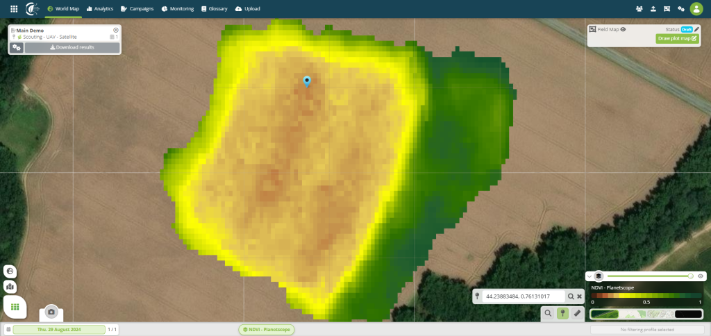
PhenoScale imaging maps in-field variability — vegetation indices, biomass and canopy vigour — across the whole field. Hiphen Intelligence delineates homogeneous management zones from that spatial signal.
Agronomists can then place sampling points where each zone is genuinely representative, cutting the number of samples needed while improving the accuracy of field-level estimates.